search
Map showing prague
Map of map showing prague. Map showing prague (Bohemia - Czechia) to print. Map showing prague (Bohemia - Czechia) to download. At the heart of Europe: Prague is about 600 km from the Baltic Sea, 700 km from the North Sea and 700 km from the Adriatic Sea. Prague is close to other major cities in Central Europe. As the map showing Prague shows, the Vltava River crosses Prague for 31 km and is crossed by 19 bridges; it flows into the Elbe a few dozen kilometers north of Prague.
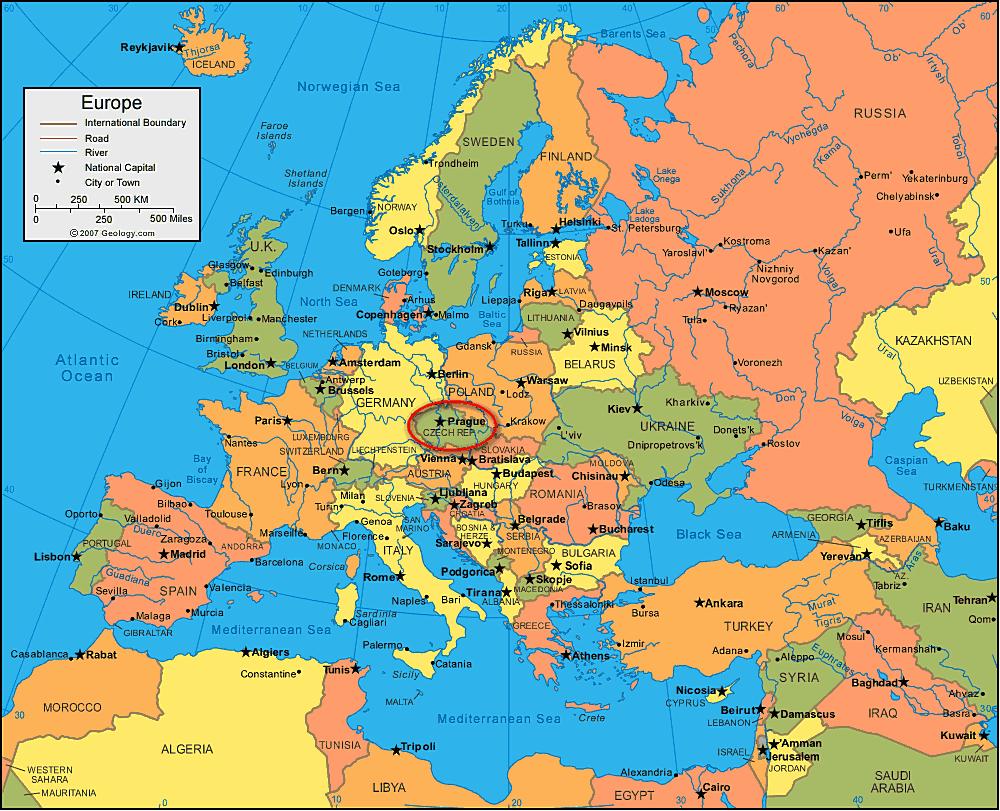
Located in the center of the Czech Republic, Prague's capital covers 496 km2 and has a population of about 1.2 million. The Vltava River is a defining geographical feature that runs through the city of Prague. The map showing Prague shows Prague stretching in the basin of the Vltava River on a series of nine hills: Letna, Vitkov, Opys, Vetrov, Skalka, Emauzy, Vysehrad, Karlov and the highest Petrin.